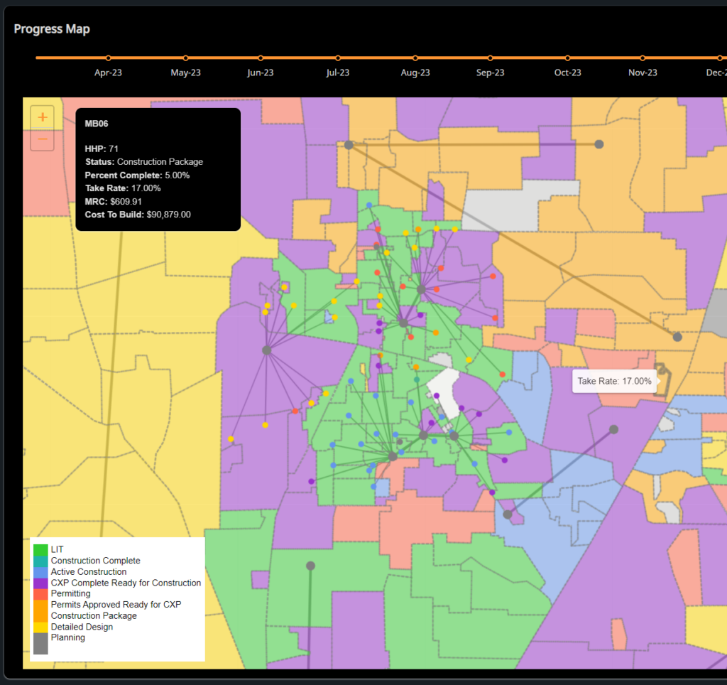
Bring all your operational data onto a single map
While engineering and GIS teams work in maps daily, we make the data from across the organization accessible and easy to use for non-GIS and technical users.
BBI visualizes your serving areas with data points such as footage built, homes passed, network connectivity, sales, take rate, ARPU, etc.
We can show details from the build such as permits or customer locations and homes passed to assist with marketing and sales efforts.

